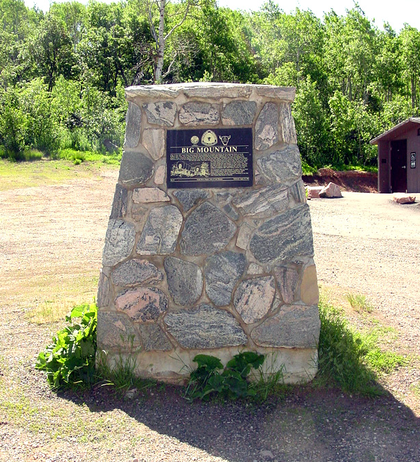
Big Mountain Pass on the Mormon Pioneer Trail, Utah
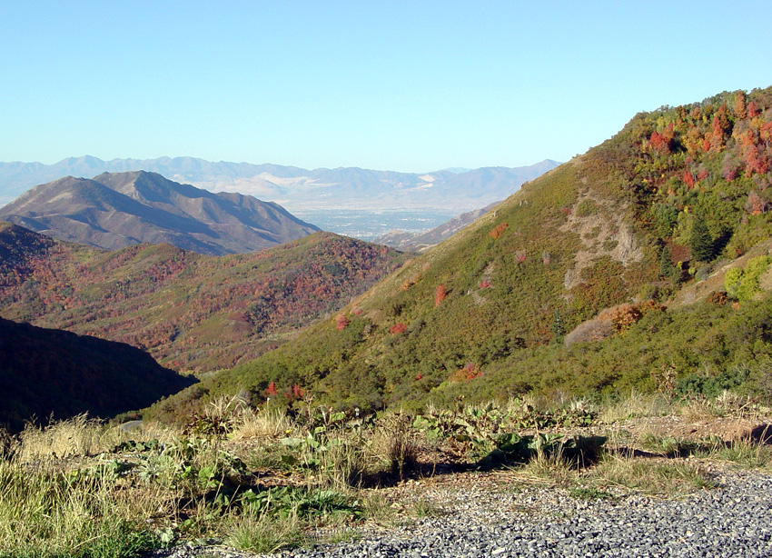
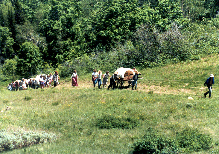
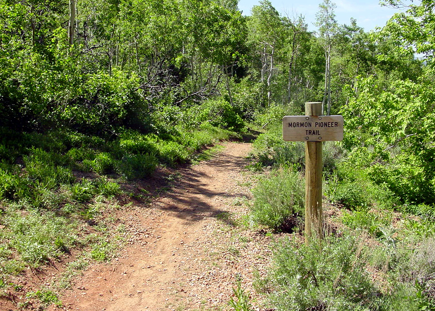
About 17 miles northeast of downtown Salt Lake City, UT, State Route 65 crosses a mountain pass at the border of Salt Lake and Morgan counties. This pass, or saddle, is known as Big Mountain. At 7,420 feet of elevation, it was one of the highest points on the California, Pony Express, and Mormon Pioneer National Historic Trails. It was often simply referred to as “the summit.” Brigham Young and the Pioneer Company followed this route that took them over Big Mountain. Other Latter-day Saint companies took this route as well until a second major route from Echo Canyon–the trail winding through Parley’s Canyon–was opened up.
Big Mountain Pass was first crossed by the Donner Party in 1846, a year before Brigham Young and the Latter-day Saints came through.

The climb to the Big Mountain summit coming from the east was steep and difficult. The road was covered with rocks, stumps, holes, and logs. Moreover, descending the mountain on the west side was also extremely challenging because of the steep grade. In-between the two sides was a moment of brightness and hope because it was at Big Mountain that the pioneers first had a partial view of the Salt Lake Valley. Even though several difficult days of travel still lay ahead of them, the pioneers of The Church of Jesus Christ of Latter-day Saints rejoiced that they had finally seen part of the valley where they would establish their new home.

President Young was not the first of the Pioneer Company to ascend the mountain and then head down to the valley below. Because of severe illness, he was several days behind two other groups. Scouts Orson Pratt and John Brown first accessed the summit on 19 July 1847. Elder Pratt and some others arrived in the Salt Lake Valley on 21 July with Brigham Young arriving three days later on the 24th.
Until about 1861, the route passing over Big Mountain summit was also followed by the California Trail, Pony Express, Overland Stage, original telegraph line, and gold seekers. The Oregon Trail had already separated from the Mormon, California and Pony Express Trails back in Wyoming.
Map and Directions
Ownership Status
SR 65 is a public highway with access granted to all. There is a large parking area at the point where the road crosses Big Mountain Pass. Anyone can there enjoy the view and read the interpretive signage without charge. However, this section of the highway is often closed during the winter months because of snow.
Photos
Articles & Resources
Resources
Richard E, Bennett, We’ll Find the Place: The Mormon Exodus, 1846-1848, 208, 213-215.
Russell R. Rich, Ensign to the Nations: A History of the LDS Church from 1846-1972, 141-142.
https://www.deseret.com/2017/7/19/20616089/picturing-history-big-mountain-pass-on-the-mormon-pioneer-trail#big-mountain-pass-is-one-of-the-highest-points-on-the-mormon-pioneer-trail-and-is-found-in-the-wasatch-mountains-about-20-miles-east-of-present-day-salt-lake-city-this-view-looks-west-toward-the-salt-lake-valley