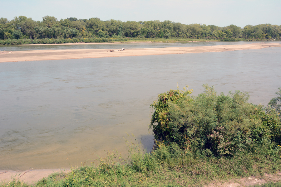
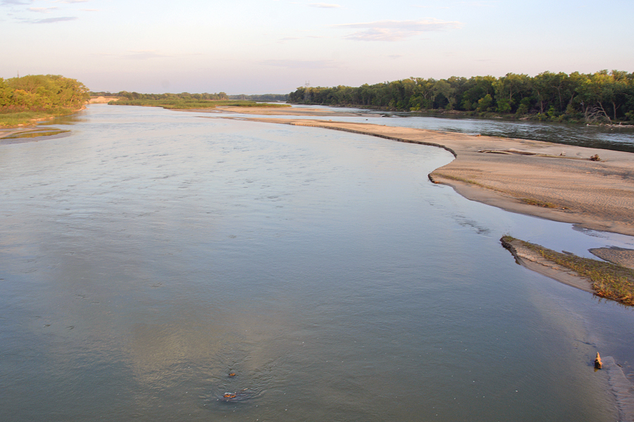
The Loup River, Nebraska
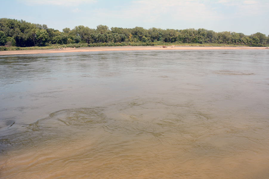
The 1847 Pioneer Camp led by Brigham Young began following the Platte River shortly after crossing the Elkhorn River in eastern Nebraska. Traveling west, they came to the confluence of the Platte and the Loup River–sometimes called the Loup Fork of the Platte–coming in on the Platte’s north side. The Loup was wide with varying depths and quicksand threatened the lives of those who tried to cross it. Richard Bennett gives this insight about the river: “Its 400 yards of swiftly flowing, ice-cold spring runoff hinted at the much larger mountain streams and rivers they would eventually have to confront. The current was so rapid that their makeshift rafts almost capsized.” Additionally, Bennet gives this recollection from Albert P. Rockwood: “The bottom is quicksand which renders it very difficult and sometimes dangerous to cross. A man on a horse standing a few moments in one place will settle in, and if they do not exert themselves immediately, they will sink to rise no more until the resurrection of the just or unjust.”

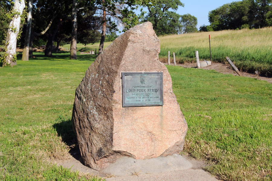
In this regard, historian Ronald Barney explains: “Rather than following the Platte as its course bent southwesterly near present-day Columbus, Nebraska, which would have required a river crossing at the Loop Fork River, the vanguard continued westward by following the Loup Fork on its north bank for approximately fifty miles before breaking due south for nearly twenty miles to reconnect with the Platte River.” On 23 April 1847, the Pioneer Company arrived at and established camp where they would finally cross the Loup Fork. This site was near present-day Fullerton, Nance County. Various other sites were utilized at other times. The Big Company that followed Brigham Young’s group, for example, crossed the Loup closer to Palmer, Merrick County. To commemorate a better known Loup Fork ferry site, a historical plaque and panel have been placed in Pawnee Park located on Highway 30 immediately north of the Loup River in the town of Columbus, Platte County, Nebraska.
Map and Directions
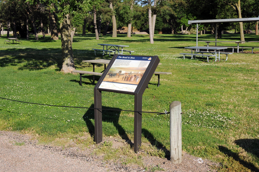
Several panels interpreting the crossing of the Loup River are found in Pawnee Park, Columbus, NE. It is located located on both sides of Highway 30 immediately north of the Loup River in Columbus, NE.
Ownership Status
The Loup River flows through multiple counties in the state of Nebraska. Like many others, it is a publically owned natural feature. One’s ability to view and/or access the river varies widely depending on who owns the land adjacent to the river at any given site. Common sense should dictate where the river might be viewed or accessed.
Photos
Articles & Resources
Resources
Norton Jacob, in Ronald O. Barney, ed., The Mormon Vanguard Brigade of 1847, 109.
Richard E. Bennett, We’ll Find the Place: The Mormon Exodus, 1846-1848, 118-119.