Mormon Battalion Mustering Grounds, Council Bluffs, Iowa
One of the most remarkable military marches in U.S. history is that of the Mormon Battalion. The group was recruited and assembled in the area of Council Bluffs, Iowa beginning in the summer of 1846 after having been driven from their homes in Illinois, The Battalion consisted of over 500 men and women who marched in the most challenging of circumstances from Iowa to the west coast of southern California. They were officially discharged at Fort Moore in present-day Los Angeles in the summer of 1847.
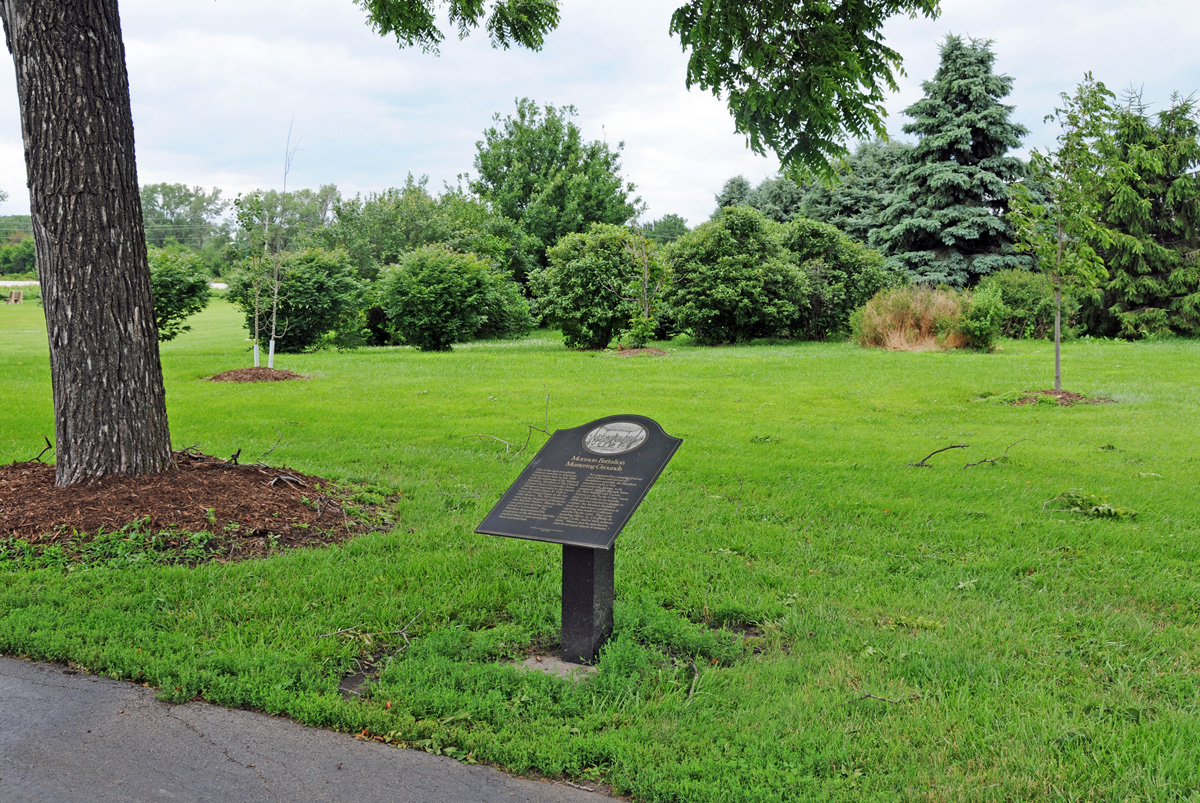
The first two images seen here identify the general area at Council Bluffs, Iowa where Latter-day Saints were recruited to serve in the Battalion. The area is commonly referred to as the Mormon Battalion Mustering Grounds. The marker seen here is located on the campus of the Iowa School for the Deaf. That campus is located at the northeast corner of the intersection of U.S. 275 and state 92 in Council Bluffs.
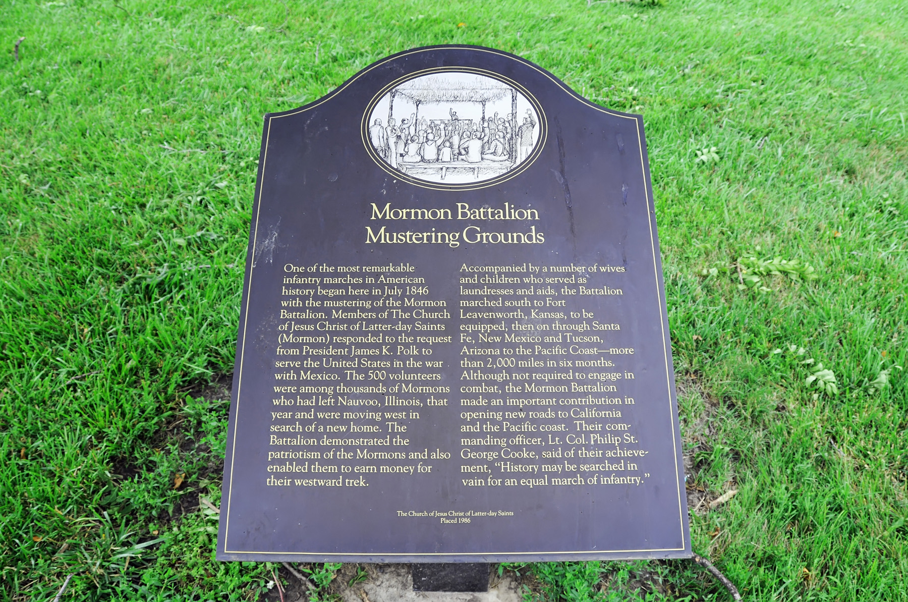
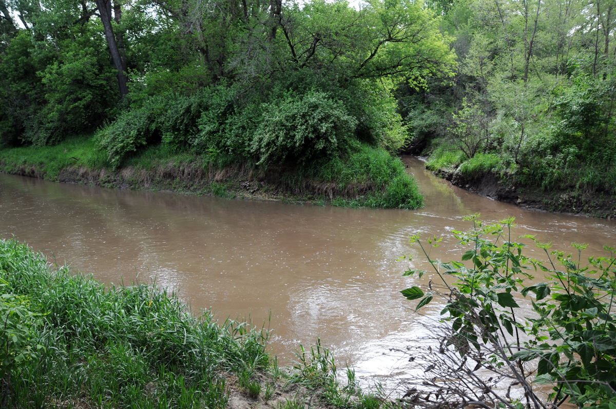
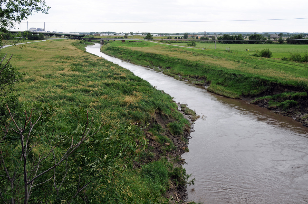
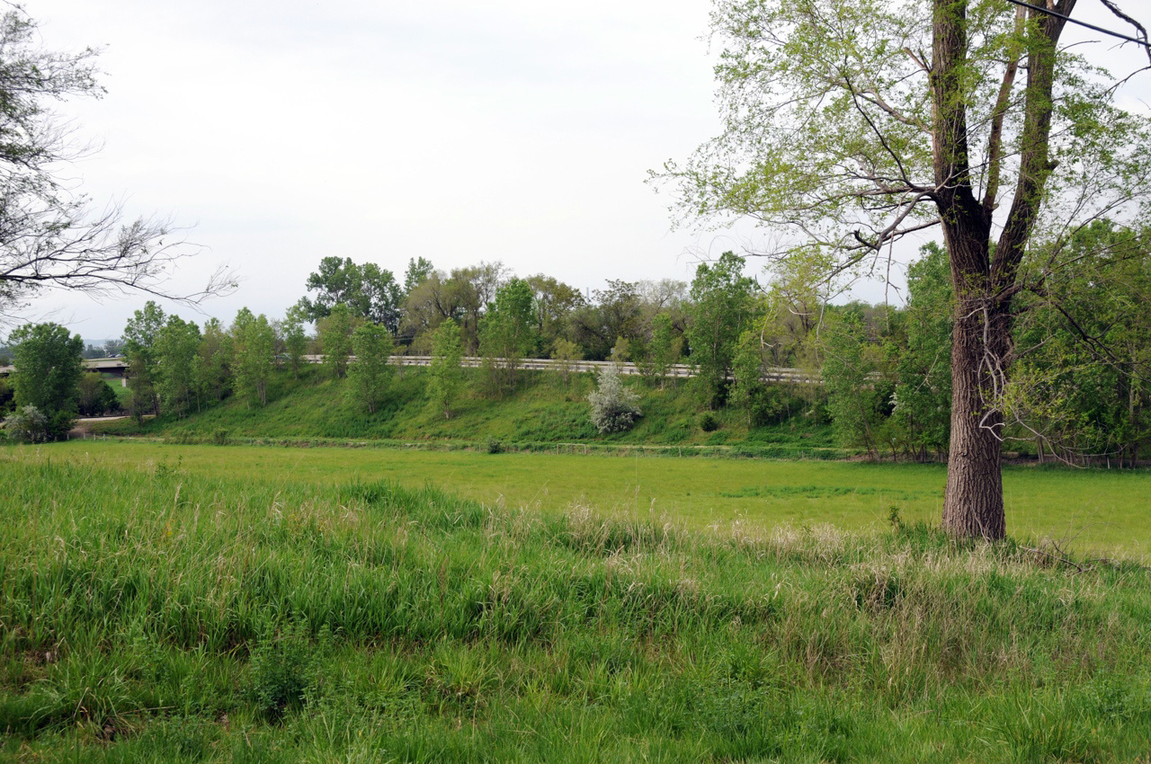
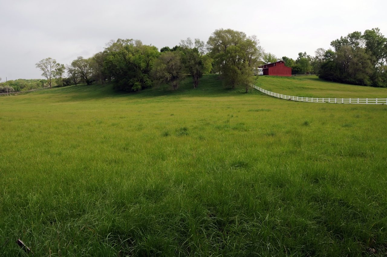
The actual site of recruitment is thought to be about a half mile to the north near the base of what the Latter-day Saints called Redemption Hill (E29th Ave.) by Mosquito Creek (seen below). On July 16, 1846, about 450 members from four companies of the Battalion gathered here, near Mosquito Creek, to hear counsel from Church leaders and Thomas L. Kane before marching to pick up supplies and rations. The actual journey of over 2000 miles began several days later at Council Point.
Map & Directions
The sites of the Mormon Battalion Mustering Grounds are located near the intersection of U.S. 275 and state 92 in Council Bluffs. At that intersection, U.S. 275 turns west and U.S. 375 continues north and crosses Mosquito Creek. There are open meadows all around this otherwise urban area. To approach Redemption Hill, turn east on E29th Ave. from U.S. 375. E29th is located between Mosquito Creek and I-80. Mosquito Creek is about 1/2 mile north of the Iowa School for the Deaf on U.S. 375.
With regard to the historical marker on the campus of the Iowa School for the Deaf, the gps coordinates are: 41°13’30.48″ N; 95°49’16.00″ W.
Ownership Status
Much of the general area of Mosquito Creek and Redemption Hill is undeveloped, and it is difficult to know whether the various parcels are public or private. Traditionally, there have not been any signs indicating one way or another, but a person must assume that much of it is private, and wisdom dictates that respect for the properties be demonstrated at all times.
Photos


Articles & Resources
Sources
William G. Hartley and A. Gary Anderson, in LaMar C. Berrett, ed., Sacred Places, Vol. 5, 133-139.
Richard E. Bennett, Mormons at the Missouri, 1846-1852, 55-62.
Russell R. Rich, Ensign to the Nations: A History of the LDS Church from 1846-1972, 57-62.