"Zelph Mound" (Naples-Rusell Mound #8)
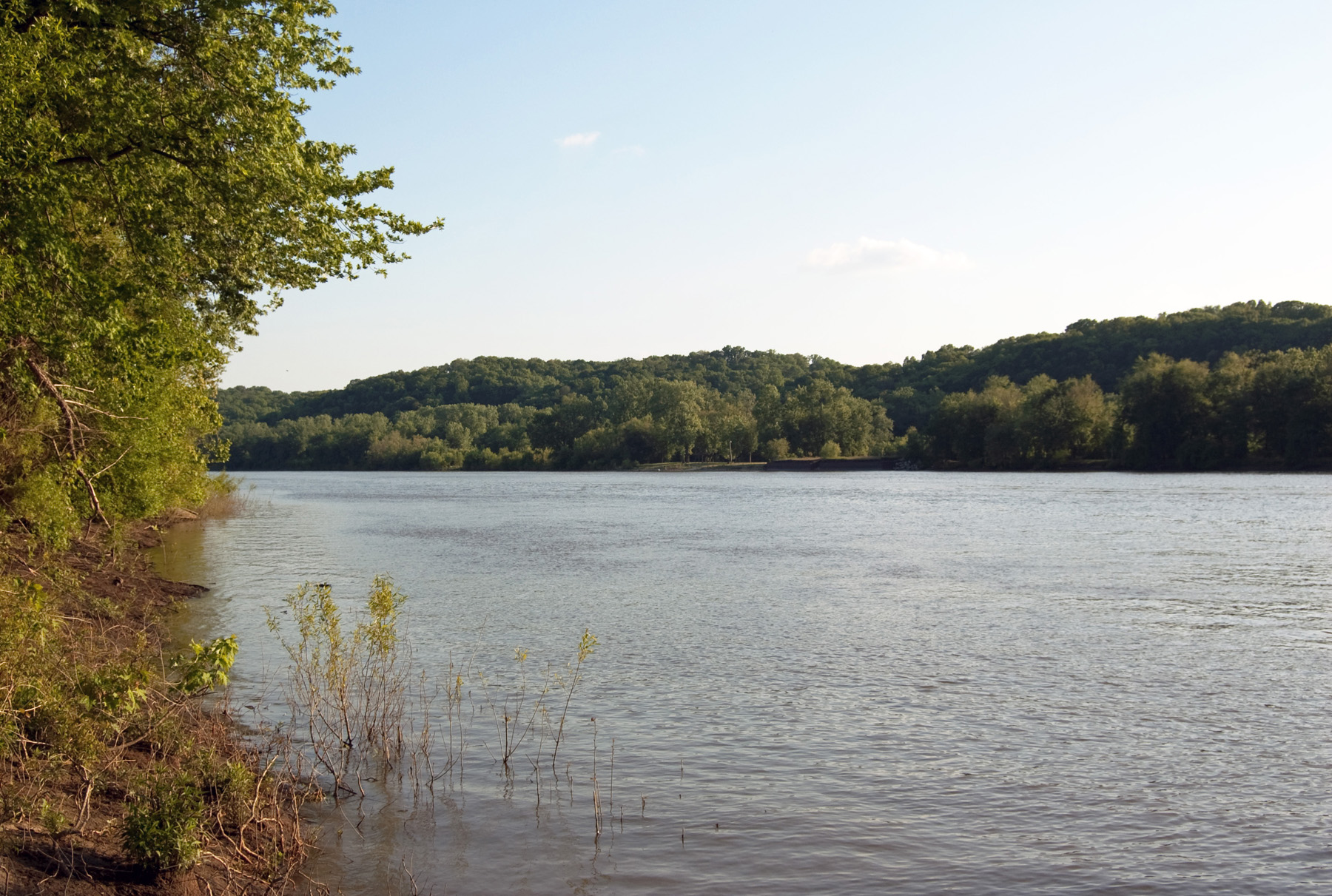
During the summer of 1834, Zion’s Camp reached the Illinois River in western Illinois. Because the river was too deep to walk through, the members of the Camp ferried across in boats. This process took several days. At one point some of those who had crossed to the west side of the river climbed one of several small hills situated close by the bank of the river.
Near the top they discovered the remains of a man who had evidently been buried there. The men informed the Prophet of their find. Details from a half dozen or so extant accounts vary in some of the details of that event, but most note that the Prophet identified those remains as a righteous Lamanite named Zelph.
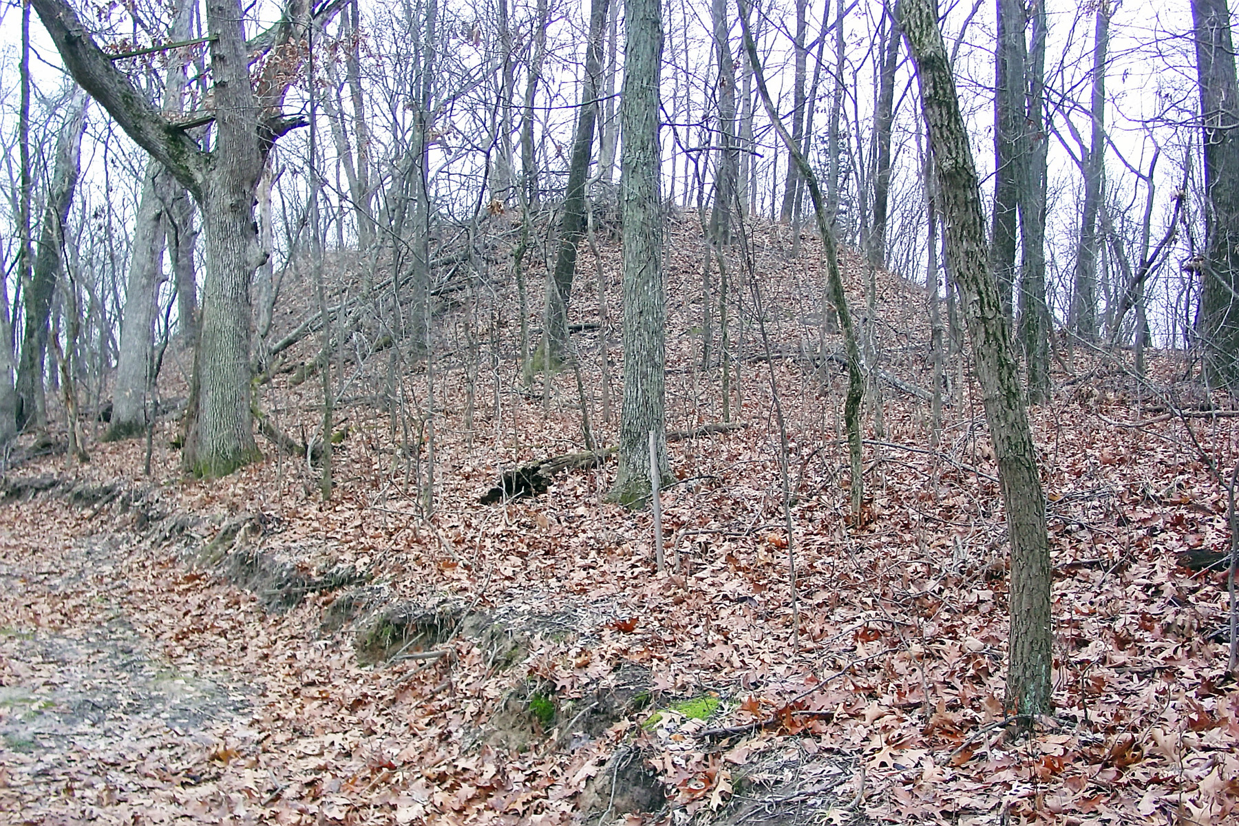
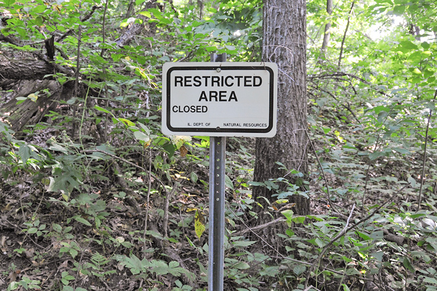
It is now known that the mound is a burial site of Native Americans of the Hopewell Culture dating back centuries. It is officially known as Naples-Russell Mound #8, Pike County, Illinois. The name comes from a combination of the nearby town of Naples, IL and a man named Russell, the property owner in 1974. Interested persons may climb the mound most of the way. However, respect must be shown as this site is reverenced by those whose ancestors are buried there.
Zion’s Camp, or the Camp of Israel, continued on from the Illinois River up a road that runs between the Zelph Mound and another burial mound. They continued west to the Mississippi River and ferried over to Louisiana, Missouri.
Map and Directions
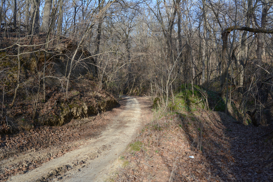
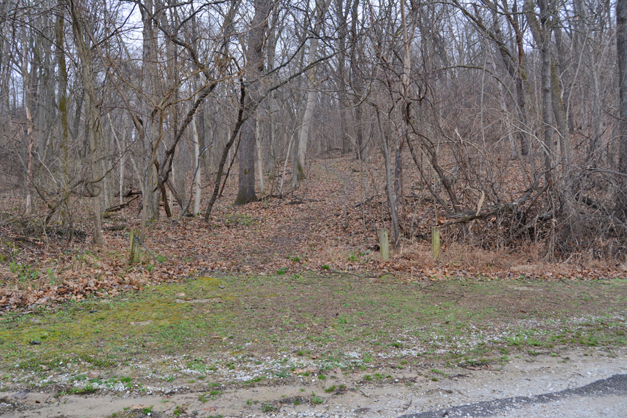
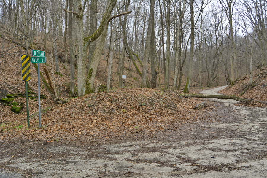
In Pike County in western Illinois, take I-72 to exit 35 and take state 107 north to Griggsville. Follow state road 2 east to a “T” intersection near the Illinois River. Turn south (right) and drive past the only home which will be on your left (east) side. About a block past the house is a small parking area between the road and the Illinois River, again on the east side of the road. The trailhead is on the opposite side of the street. It may or may not be marked. It is seen in the last image below. Approximate gps coordinates are: 39°41’29.89″ N; 90°38’48.43″ W. Because it is so heavily wooded, the Zelph Mound is better seen in the fall and winter when the leaves have fallen off the trees.
Ownership Status
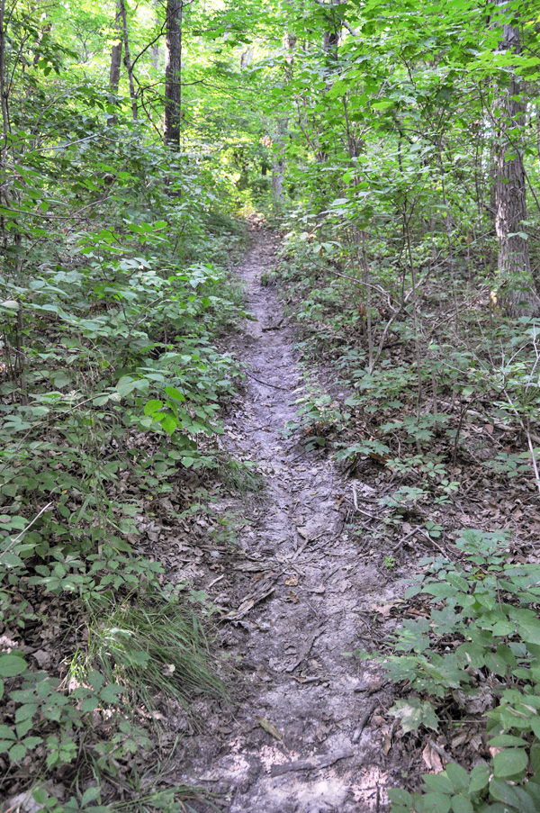
Naples-Russell Mound #8, Pike County, IL or the “Zelph Mound” is situated within the boundaries of the Ray Norbut State Fish and Wildlife Area of Pike County. The trail from the road to the mound is open to the public but, near the top, there is signage denying further access. This is done because the site is a Native American burial ground and considered sacred to the social organization known as Hopewell.
Photos

Articles & Resources
Sources
Kenneth R. Mays, “On the Road with Zion’s Camp: A Photographic Essay of the 1834 Missouri Expedition,” in Mormon Historical Studies, Spring/Fall 2007, vol. 8, nos.1-2, 65-66, 74.
Joseph Smith, History of the Church, 2:79-80.
James Bradley, The Eternal Perspective of Zion’s Camp, 323-324.
Kenneth Godfrey, “The Zelph Story,” BYU Studies 29, no. 2 (Spring 1989), 31-56.
Donald Q. Cannon, “Zelph Revisited,” in H. Dean Garrett, ed., Regional Studies in Latter-day Saint Church History: Illinois, 97-111.