Hole In the Rock Road, Escalante, UT
One of the legendary stories of sacrifice and endurance from early pioneer Utah is that of the Latter-day Saints who blazed the Hole in the Rock Trail in southern Utah. Settlers in Parowan and elsewhere in that region were asked by their Church leaders to leave their homes and settle in what is now San Juan County. The route they chose saved many miles from a route north through Green River and Moab or south through northern Arizona, crossing the Colorado River at Lee’s Ferry. However, getting there by way of the shorter route was an extreme challenge because of the difficult landscape they needed to traverse, particularly the deep rock canyon formed by the Colorado River. The first leg of the journey went from present-day Escalante, UT to the crevasse or chute known as Hole in the Rock. The route covered a distance of 55-60 miles.
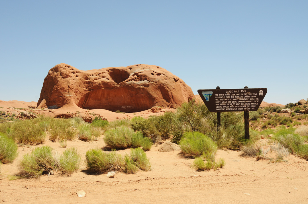
Thirty-six miles down the trail before reaching the hole or chute, the pioneers camped near a large sandstone formation shaped like an amphitheater. They stayed at that place while scouts looked for a route where they could cross the deep canyons of the Colorado River. Naming it Dance Hall Rock, the stone amphitheater was a place where the travelers held square dances in the evenings, keeping their spirits high as they waited for word from the scouts. That changed when they learned of the overwhelming challenges ahead.
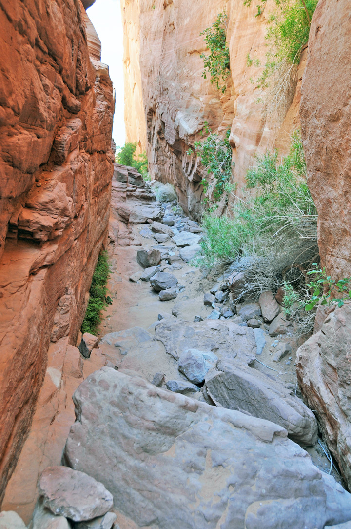
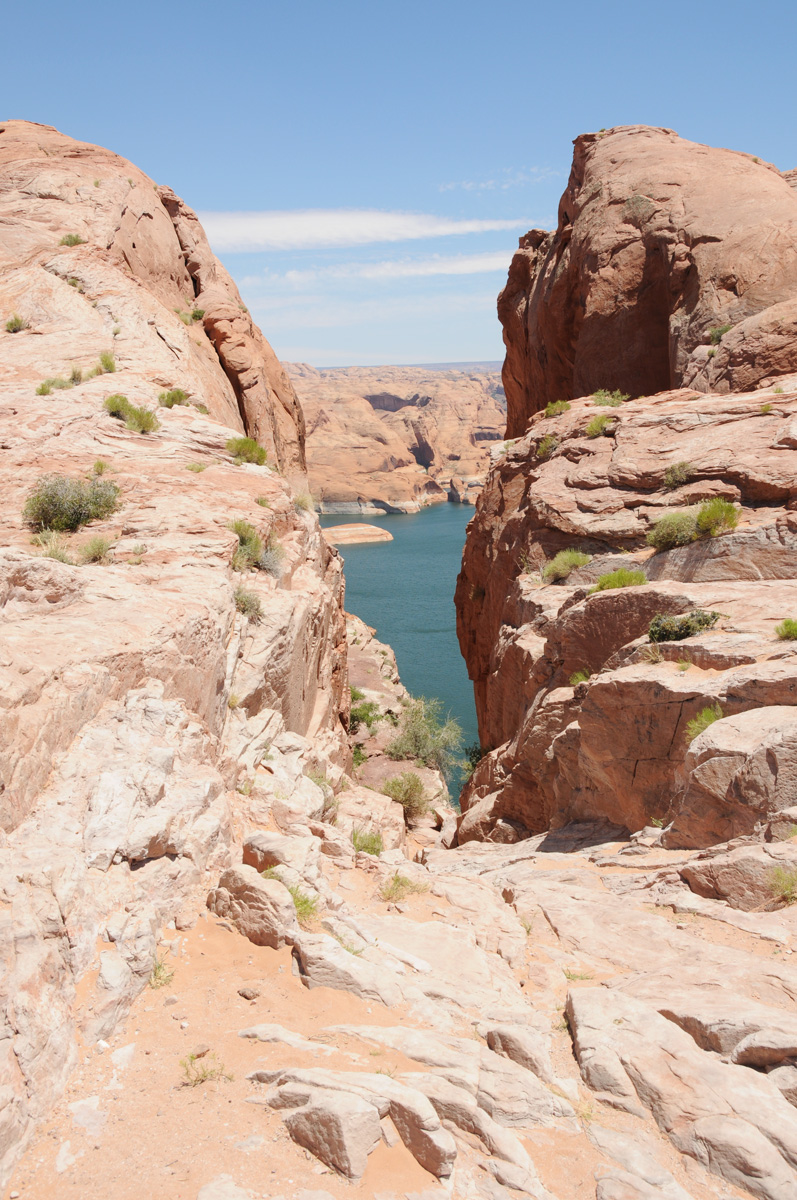
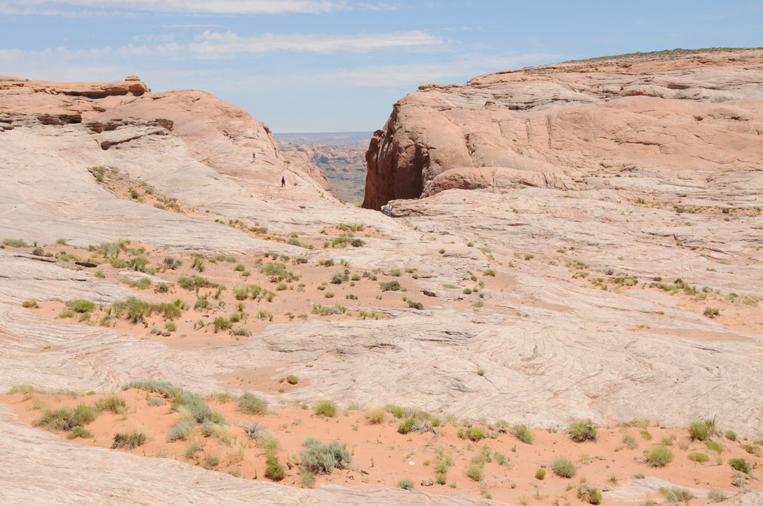
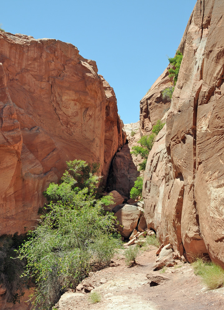
The Hole in the Rock route today may be (arbitrarily) separated into three sections: Escalante, UT to the Hole in the Rock. This “hole” was a steep natural crevasse, or notch through the sandstone down to the Colorado River. This first section, from Escalante to the Colorado River, is a stretch of about sixty miles. The route follows a relatively easy path down past Dance Hall Rock to a point several miles before reaching the notch, or hole in the rock, which descends with a very steep incline to the river.
The second leg or segment of the journey came after crossing the Colorado River. This forbidding route ran up through nearly impassible land to Salvation Knoll, where scouts could finally see some landmarks to get their bearings. The final third of the journey took them down through Snow Flat to Comb Ridge, up over San Juan Hill to Bluff, UT.
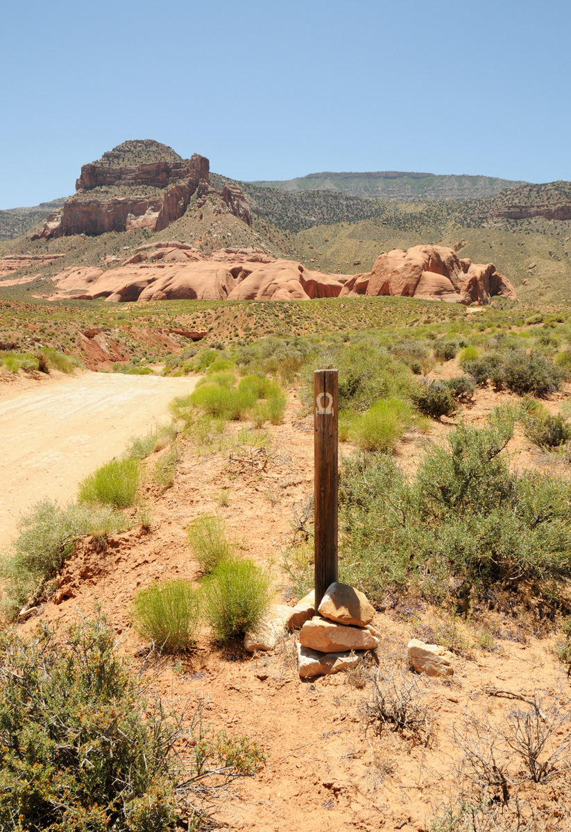
Presently, it is possible to drive to the first Hole in the Rock site. The road is dirt and often has a “washboard” effect. It is important to note that one should not take the road if it is wet or if precipitation is imminent. The final few miles require a high clearance vehicle with four wheel drive. It is no longer possible to take any vehicles down through the actual Hole in the Rock chute or trail to the Colorado River. One may make the descent to the river (now Lake Powell) on foot, but even that is challenging and not possible for many. Contemplating the process of pioneers taking wagons and livestock down through that steep, narrow chute truly boggles the mind.
Map and Directions
From the town of Escalante, Garfield County, Utah, take highway 12 east. After just a few minutes of driving there will be signage identifying a dirt road heading south to the Hole in the Rock site. The trail will eventually exit Garfield County and enter Kane County. The road is open to the public but it is slow, dusty, and should not be taken if it is wet or if there is a chance of precipitation. It should also be remembered that the final 1-2 miles require a four wheel drive vehicle with high ground clearance. The gps coordinates of the dirt Hole in the Rock Trail just outside of Escalante are: 37°43’39.8″N 111°31’52.7″W.
Ownership Status
The section of the Hole in the Rock Trail from Escalante to the hole or steep chute down to the river lies within the borders of the Grand Staircase-Escalante National Monument. It is open to the public without charge.
Photos

Articles & Resources
Resources
David E. Miller, Hole-in-the-Rock, 3-118.