The Ruins of St. Thomas, Nevada
In Clark County, Nevada there is an interesting historic site near the confluence of the Muddy and Virgin Rivers. This site was once St. Thomas, a thriving little city founded by members of The Church of Jesus Christ of Latter-day Saints. After decades of existence, the entire town was evacuated because of Hoover Dam and the rising waters of Lake Mead. Remarkably, because of continuing drought and lowering lake levels, the ruins of St. Thomas have reappeared.
The town’s namesake, Thomas S. Smith, was one of the original dozen or so settlers who first established the small community in 1865. This effort was undertaken because of a directive from Church president, Brigham Young. By the following year, 1866, some 45 families were plowing fields and building homes. The settlement struggled to survive during the early years.
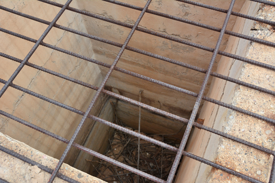
Before the Latter-day Saints arrived, Native Americans had grown corn, beans, squash and cotton. The white settlers planted a variety of grains, melons, fruit trees and vegetable gardens. An irrigation systems was needed for all of these to be successfully harvested. The water needed came from the Muddy River and flowed through channels through the town. Cisterns used for storing water filtered through charcoal and sand allowed residents to draw buckets of water for daily use.
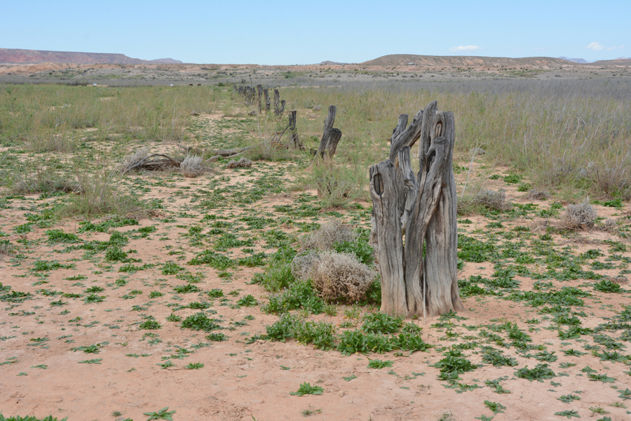
Initially, the official boundaries of Utah, Arizona and Nevada were not clearly defined. In December 1870, it was determined that the town of St. Thomas was officially situated in the state of Nevada. Upon learning that, Nevada insisted that the residents of St. Thomas a significant amount in back taxes. After seeking advice from President Brigham Young, he gave them the option of voting whether to stay or to go. A large majority of the settlers decided to leave and they abandoned the settlement. Over time, the town was repopulated by others who came to make an attempt to successfully settle the area. In addition to homes there were schools, hotels, other businesses and a railroad spur to serve the community.
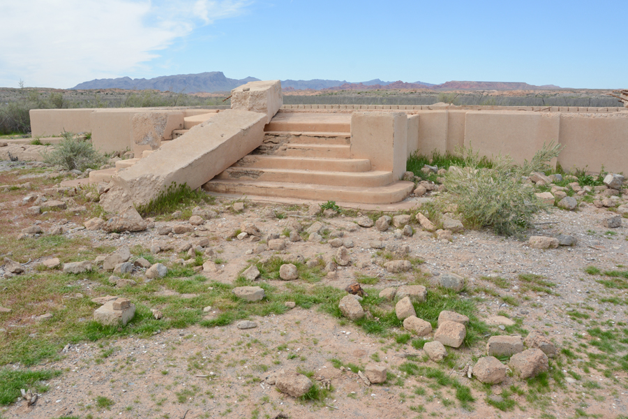
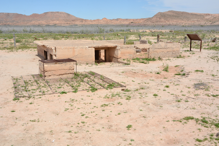
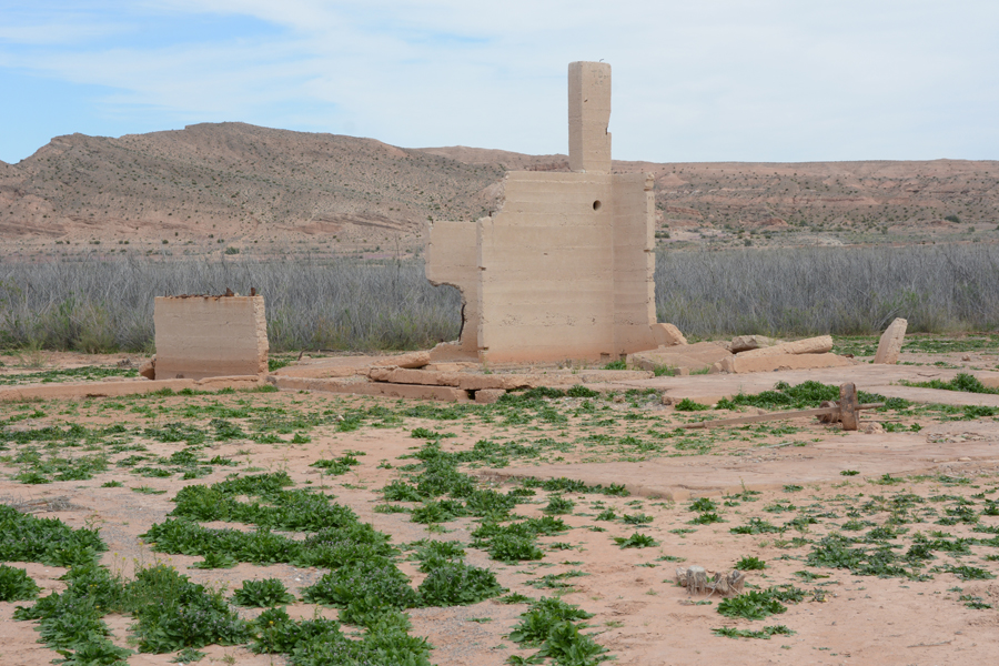
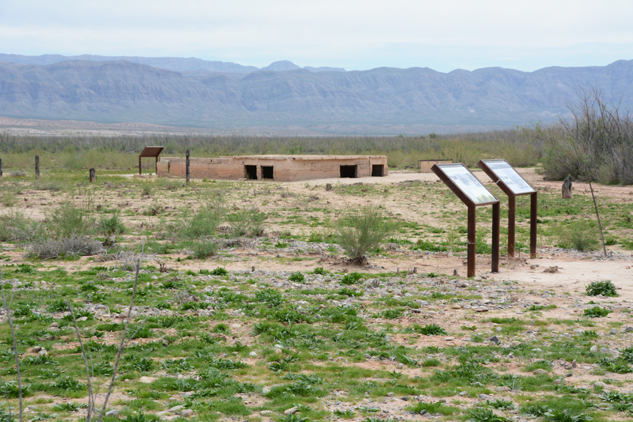
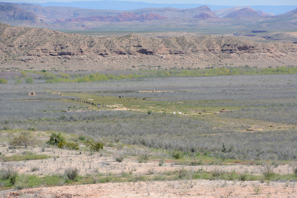
Life in the town continued on until the Boulder Dam Act of 1928 which provided compensation for all residents because they would lose their land and homes when the waters of Lake Mead raised sufficiently to cover the entire region. For a time, the site of St. Thomas was covered by seventy feet of water. As time went on, the water receded and the town eventually reappeared. Presently, one can walk the streets that were lined with trees and see the foundations of homes and buildings that were buried by the water.
Map and Directions
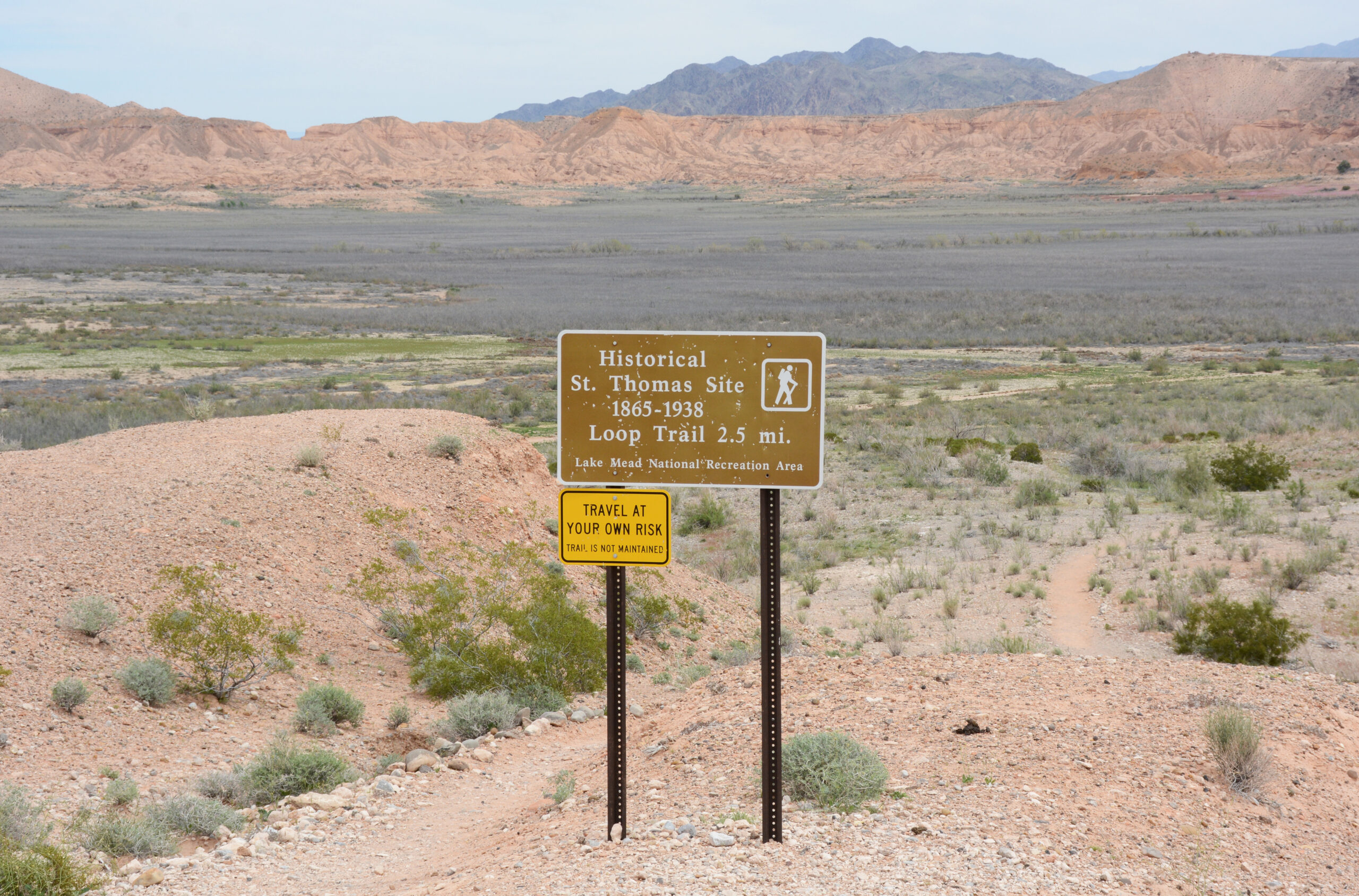
From I-15 north of Las Vegas, take the Logandale-Overton exit. This is SR 169. Drive south about 29 miles, past Overton to Bluff Road, then Old St. Thomas Road (dirt) about three miles to the town site. There is parking and interpretive signage there. From the parking area, there is a 2.5 mile walk down to where the town once was. One goes at one’s own risk as the trail is not maintained.
Ownership Status
The site of St. Thomas is maintained by the National Park Service, Department of the Interior. It is open to the public at no charge seven days a week.
Photos
Articles & Resources
Resources
The content posted above comes from the National Park Service, interpretive panels on site of St. Thomas.