Mount Pisgah, Iowa
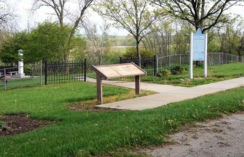
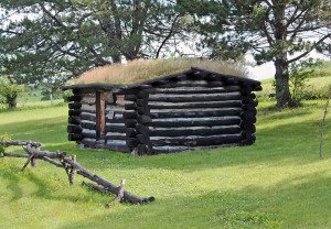
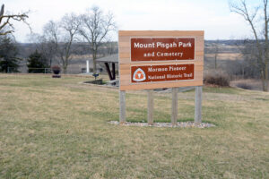
Like Garden Grove, Mount Pisgah was a campsite and temporary settlement in southern Iowa for members of the LDS Church traveling west to Winter Quarters from Nauvoo. Mount Pisgah was established in southern Iowa as a temporary way station for Mormon emigrants who crossed the Plains from 1846-1852.
The picturesque setting was a welcome sight to many of the expelled Saints. Ezra T. Benson described Mount Pisgah as “the first place that I felt willing in my heart to stay since I left Nauvoo.”1 Shortly after arriving, Indian Chief Pied Riche welcomed the Saints to the area and described how their people had also been driven from their home in Michigan and felt that they “must help one another, and the Great Spirit will help us both. Because one suffers and does not deserve it is no reason he shall suffer always. We may live to see it right yet. If we do not our children will.”
However, despite the scenic beauty of the area, the Saints who lived at Mount Pisgah endured many hardships. Within the first six months of settling the area, at least 150 people died.2 Among those who died there was Joseph Knight, Sr., who had joined the Church early in Colesville, New York. Also, the call to fulfill positions in the Mormon Battalion came to Mount Pisgah, and approximately 65 of the able-bodied men left in the service of the military.
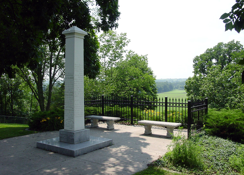
In 1852 the Mount Pisgah stakes were instructed to dismantle their settlement and emigrate to the Salt Lake Valley. In 1888, The Church of Jesus Christ of Latter-day Saints purchased the pioneer cemetery and the surrounding one acre. Also, a monument was erected listing the names of many people who lost their lives at Mount Pisgah.
SOURCES
1 Leland H. Gentry, “The Mormon Way Stations: Garden Grove and Mount Pisgah,” BYU Studies, Vol. 21, No. 4, 1991, 454.
2 Taken from an informational marker near Mount Pisgah.
3 Andrew Jenson, Encyclopedic History of The Church of Jesus Christ of Latter-day Saints (Salt Lake City: Deseret News Publishing Co., 1941), 546.
Map & Directions
From U.S. 34, or north on highway 169 for 1.8 miles. Turn left (west) on 167th Street. The road turns south on to Mt. Pisgah Road. Follow it to the parking and interpretive signs. The formal address is 1704 Mt. Pisgah Road, Thayre, Iowa 50254.
Photos
Articles & Resources
Various Accounts of Mount Pisgah
Author(s): Orson Pratt, Wilford Woodruff, Parley P. Pratt
Type: First-person accounts
Source(s): Leland H. Gentry, “The Mormon Way Stations: Garden Grove and Mount Pisgah,” BYU Studies, Vol. 21, No. 4, 1991, 454; Preston Nibley, The Presidents of the Church, 13th ed., rev. and enl. (Salt Lake City: Deseret Book Co., 1974), 118; Parley P. Pratt, Autobiography of Parley P. Pratt, edited by his son, Parley P. Pratt (Salt Lake City: Deseret Book Co., 1985), 307 – 308.
Susan Easton Black and William G. Hartley eds., The Iowa Mormon Trail: Legacy of Faith and Courage (Orem, UT: Helix Publishing, 1997).
Howard R. Driggs, “Following the Old ‘Mormon’ Trail: Pictures of Mount Pisgah,” Instructor, February 1922, Vol. 57, 61-64.
Richard L. Evans, “Mount Pisgah Mormon Cemetery,” Improvement Era, January 1937, Vol. 40, 20-22.
Leland H. Gentry, “The Mormon Way Stations: Garden Grove and Mount Pisgah,”  BYU Studies, Fall 1981, Vol. 21, 445-61.
Andrew Jensen, “Mount Pisgah,” Utah Genealogical and Historical Magazine, October 1916, Vol. 7, 157-75.
Hannah Settle Lapish, “The ‘Mormon’ Burial Ground at Mount Pisgah, Iowa,” Improvement Era, May 1914, Vol. 17, 662-66.
Herman C. Smith, “Settlement at Mount Pisgah, Iowa,” Journal of History, April 1909, Vol. 2, 185-90.
