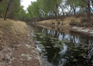
San Pedro River, Cochise County, Arizona
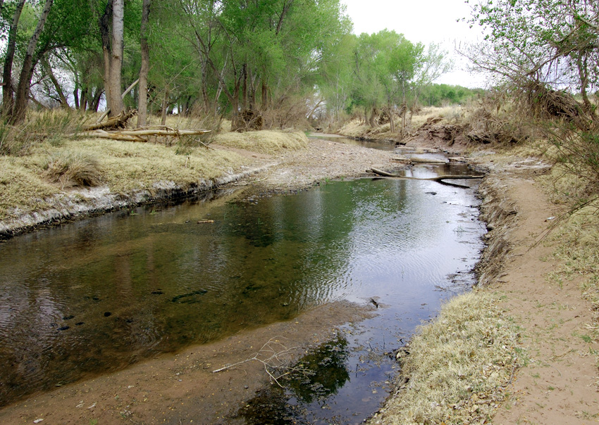
In December 1846 the Mormon Battalion was journeying west along the United States-Mexico border. Along with the challenging terrain and lack of food, battalion members suffered from a lack of good water. Journals say that on December 9, 1846 they reached the San Pedro River flowing north out of Sonora (in Mexico) into Cochise County, Arizona. At this point the battalion turned north following the river for about five or six days when they turned west/northwest toward Tucson. During this period, members of the battalion enjoyed the water and were able to do some fishing and hunting. Even though they were in a desert, they were afflicted at times by the cold. They followed the San Pedro for about fifty miles.
Directions
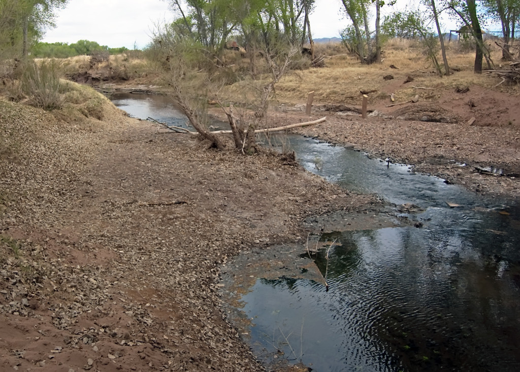
From the famous old town of Tombstone, Arizona, take the E. Charleston Road southwest toward Sierra Vista. That road will cross the San Pedro River. It does so at the site of the famous Battle of the Bulls. The gps coordinates are: 31°37’35.71″N; 110°10’25.25″ W. Another way to see the river is to start at the town of Palominos and go east for about a half mile on highway 92. The gps coordinates are: 31°22’47.82″ N; 110°06’39.65″ W.
Photos
Articles & Resources
Resources
Michael N. Landon and Brandon J. Metcalf, The Remarkable Journey of the Mormon Battalion, 58.
Sherman L. Fleek, History May Be Searched in Vain: A Military History of the Mormon Battalion, 277-279.
Norman Baldwin Ricketts, The Mormon Battalion: U.S. Army of the West, 1846-1848, 93-95.
Stanley B. Kimball, Historic Sites and Markers Along the Mormon and Other Great Western Trails, 220.
